Deep learning on the Blue Waters supercomputer aims to develop a better understanding of tree coverage and more accurately calculate how much carbon they store.
In an interview in The Guardian, Martin Brandt, assistant professor of geography at the University of Copenhagen, and an international study’s lead author to find trees in arid parts of West Africa, said they found ‘quite a few hundred million’ in areas they did not expect to find any.
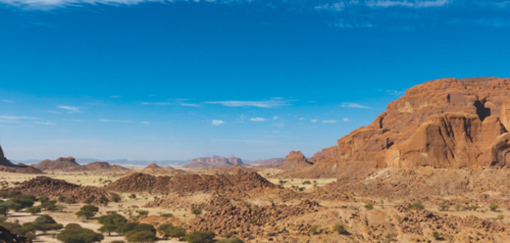
‘Most maps show these areas as basically empty’, stated Brandt. ‘But they’re not empty. Our assessment suggests a way to monitor trees outside of forests globally, and to explore their role in mitigating degradation, climate change and poverty.’
Mapping non-forest trees across a wide area and then calculating how much carbon they store is crucial to understanding Earth’s carbon cycle, its changes over time, and how it may affect climate.
Using powerful supercomputers – such as Blue Waters at the National Center for Supercomputing Applications, University of Illinois – and machine learning algorithms, the team mapped the crown diameter – the width of a tree when viewed from above – of more than 1.8 billion trees across an area of more than 1,300,000km2. The researchers also mapped how tree crown diameter, coverage, and density varied depending on rainfall and land use.
Mapping non-forest trees at this level of detail would take months or years with traditional analysis methods, the team said, compared to a few weeks for this study. The use of very high-resolution imagery and powerful AI represents a technology breakthrough for mapping and measuring these trees.
The study – published in Nature – is intended to be just the first in a series of papers on this key environmental issue.
It would previously have taken years to calculate, but the use of machine learning allowed the researchers to map the trees in just a few weeks. The team used 1.5 million node hours on Blue Waters, which is the largest use of machine learning methods on the supercomputer to date.
Conservation experts working to mitigate climate change and other environmental threats have targeted deforestation for years, but these efforts do not always include trees that grow outside forests, said Compton Tucker, senior biospheric scientist in the Earth sciences division at Nasa Goddard Space Flight Center. He also noted that many current methods for studying trees’ carbon content only include forests, not trees that grow individually or in small clusters.
Trees and other green vegetation are carbon ‘sinks,’ meaning they use carbon for growth and store it out of the atmosphere in their trunks, branches, leaves and roots. Human activities, like burning trees and fossil fuels or clearing forested land, release carbon into the atmosphere as carbon dioxide, and rising concentrations of atmospheric carbon dioxide are the main cause of climate change.
Not only could these trees be significant carbon sinks, but they also contribute to the ecosystems and economies of nearby human, animal and plant populations. However, many current methods for studying trees’ carbon content only include forests, not trees that grow individually or in small clusters.
The team ran a powerful computing algorithm – a fully convolutional neural network – on Blue Waters. The team trained the model by manually marking nearly 90,000 individual trees across a variety of terrain, then allowing it to ‘learn’ which shapes and shadows indicated the presence of trees.
The process of coding the training data took more than a year, said Brandt, who marked all 89,899 trees himself and helped supervise training and running the model. Ankit Kariryaa, of the University of Bremen, led the development of deep learning computer processing.
‘In 1km of terrain, say it’s a desert, many times there are no trees, but the program wants to find a tree,’ Brandt said. ‘It will find a stone and think it’s a tree. Further south, it will find houses that look like trees. It sounds easy, you’d think – there’s a tree, why shouldn’t the model know it’s a tree? But the challenges come with this level of detail. The more detail there is, the more challenges.’
Establishing an accurate count of trees in this area provides vital information for researchers, policymakers and conservationists. Additionally, measuring how tree size and density vary by rainfall – with wetter and more populated regions supporting more and larger trees – provides important data for on-the-ground conservation efforts.
‘There are important ecological processes, not only inside, but outside forests too,’ said Jesse Meyer, a programmer at Nasa Goddard who led the processing on Blue Waters. ‘For preservation, restoration, climate change, and other purposes, data like these are very important to establish a baseline. In a year or two or ten, the study could be repeated with new data and compared to data from today, to see if efforts to revitalise and reduce deforestation are effective or not. It has quite practical implications.’
After gauging the program’s accuracy by comparing it to both manually coded data and field data from the region, the team ran the program across the full study area. The neural network identified more than 1.8 billion trees – surprising numbers for a region often assumed to support little vegetation.
‘Future papers in the series will build on the foundation of counting trees, extend the areas studied, and look at ways to calculate their carbon content,’ said Tucker. Nasa missions such as the Global Ecosystem Dynamics Investigation mission, or Gedi, and IceSat-2 (Ice, Cloud and Land Elevation Sat-2), are already collecting data that will be used to measure the height and biomass of forests. In the future, combining these data sources with the power of AI could open up research possibilities, and help researchers more accurately calculate carbon sinks.
‘Our objective is to see how much carbon is in isolated trees in the vast arid and semi-arid portions of the world,’ Tucker said.
‘Then we need to understand the mechanism which drives carbon storage in arid and semi-arid areas. Perhaps this information can be utilised to store more carbon in vegetation by taking more carbon dioxide out of the atmosphere.’
Brandt said: ‘From a carbon-cycle perspective, these dry areas are not well mapped, in terms of what density of trees and carbon is there. It’s a white area on maps. These dry areas are basically masked out. This is because normal satellites just don’t see the trees – they see a forest, but if the tree is isolated, they can’t see it. Now we’re on the way to filling these white spots on the maps. And that’s quite exciting.’
