
Efficient software model could democratise access to geospatial analysis

Geospatial analysis

Credit: Ammit Jack/Shutterstock

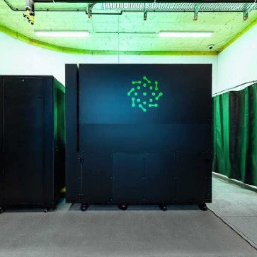
A new software model built by a team of scientists from the University of Glasgow could make computer analysis of geospatial data more environmentally friendly.

Researchers developed the model, called “GeoAggregator”, which uses machine learning to reduce the computational demands of analysing complex geospatial data sets.

The research paper, titled ‘GeoAggregator — An Efficient Transformer Model for Geo-spatial Tabular Data’ will be presented at the AAAI Conference on Artificial Intelligence this week.

Dr Mingshu Wang, of the University of Glasgow’s School of Geographical & Earth Sciences, is one of the paper’s co-authors. He said: "The majority of data is geographic in nature, though we often neglect that fact. From real estate transactions to grocery store shopping and business data, if it has a location attached, it's geographic data, and it can be used to help guide decisions across a wide range of applications from the neighbourhood scale to the entire world.

As GPS technology and satellite data become more widespread, massive amounts of geospatial information are collected daily. However, making sense of this data requires sophisticated modelling techniques that capture complex spatial relationships, which traditional statistical methods and even existing AI models struggle with.

GeoAggregator addresses these challenges by introducing a lightweight transformer-based AI model that efficiently analyses spatial autocorrelation (how nearby places influence each other) and spatial heterogeneity (how patterns vary from location to location). Unlike conventional deep learning models that demand large amounts of computing power, GeoAggregator is faster, more scalable, and requires fewer resources—making it more accessible for researchers and policymakers. 

One of GeoAggregator’s key innovations is its Gaussian-biased local attention mechanism, which helps the model focus on relevant nearby data points while still considering the broader spatial context. This approach enhances predictions for a variety of spatial data problems, such as forecasting air pollution levels, identifying housing price trends, and analysing poverty distribution.

Another breakthrough is its Cartesian attention mechanism, which keeps the model lightweight while maintaining high accuracy. This means that even as datasets grow larger, GeoAggregator can process them efficiently - something that many traditional AI models struggle with.

To test its effectiveness, the researchers compared GeoAggregator with widely used geospatial modelling techniques, including geostatistical methods, XGBoost, and deep learning models. The results showed that GeoAggregator consistently performed as well as or better than its competitors across different datasets, including synthetic data, housing price predictions, and air quality assessments.

Crucially, the model achieved high accuracy while using significantly fewer computational resources, making it a practical solution for real-world applications where speed and efficiency matter.

The researchers have made their code open-source, encouraging others to use and improve it. As interest in location-based data grows, tools like GeoAggregator can help turn complex geospatial information into useful insights about how people and locations interact.

“GeoAggregator represents a big step forward in making complex data analysis more efficient and more accessible to everyone,” stated Wang. “All the data analysis we did during the development of GeoAggregator was done on a single laptop, which shows just how effective a tool it is.

Many industries rely on understanding spatial relationships to make predictions and plan for the future. With GeoAggregator, organisations can analyse big spatial data more effectively, helping to shape better policies, improve urban planning, and support sustainable development.”

The researchers are developing an open-source Python package that will make the model freely available to anyone who wants to use it. This development is part of Rui Deng's ongoing PhD research, which will continue to improve the model's capabilities over the next two years.

The paper’s lead author, Mr Deng, said: “For small and medium-sized companies, researchers, or teaching purposes where resources are limited, Aggregator provides a way to get highly accurate data analysis while maintaining efficiency. Even for larger organisations with unlimited computational resources, choosing a more efficient model like this could boost their efforts to achieve sustainability through reduced energy and water consumption."

Dr Ziqi Li, Assistant Professor at Florida State University, is an honorary research fellow and co-supervisor of Deng at the School of Geographical & Earth Sciences, is also a co-author of the paper.

The research is part of the University of Glasgow’s broadening, multidisciplinary expertise in artificial intelligence and machine learning following the Centre for Data Science & AI launch in September 2023.

The School of Geographical & Earth Sciences also recently received UKRI funding to establish and lead Exascale computing for Earth, Environmental, and Sustainability Solutions consortium, or ExaGEO. In partnership with partners from academia, industry, and government, EXAGeo will train 65 new PhD students in the skills to develop and apply software for environmental applications that will run on next-generation exascale computing systems.

Topics

Read more about:

HPC, Physics

Media Partners